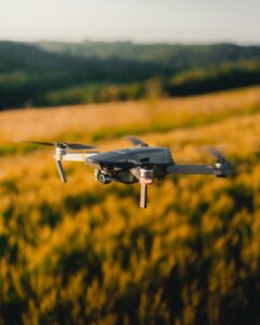
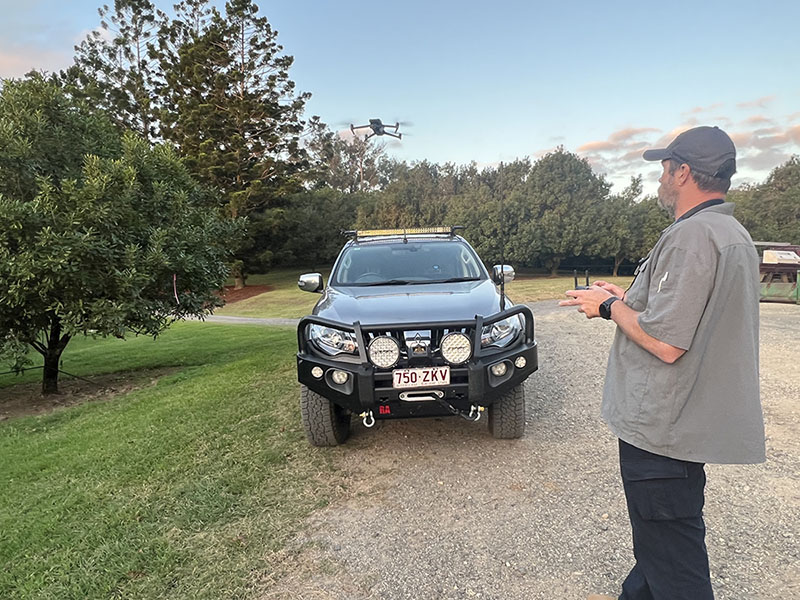
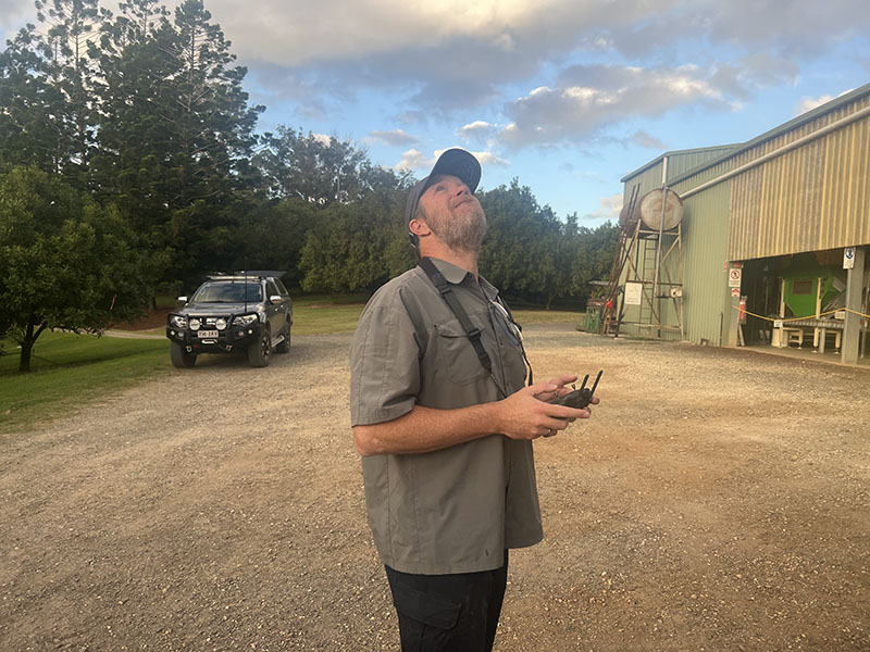
Greyman Ops is your premier destination for advanced Unmanned Aerial Vehicle (UAV) operations. We are certified by CASA to operate UAVs up to 150kg under the ReOC (Chief Pilot UAV) license. Moreover, we have the capability to secure CASA permissions for night and BVLOS (Beyond Visual Line Of Sight) operations in specific scenarios.
THERMAL SURVEYS
Our enterprise-grade UAVs are outfitted with high-resolution (minimum 640×512) thermal cameras capable of detecting minute thermal signatures from as high as 100m, facilitating efficient wildlife surveys and tracking. Owing to their young age (less than a year old), our UAVs remain unnoticed by animals, even when hovering 20+ overhead. Our thermal surveys serve various applications:
- Search & Rescue (SAR): Locating missing persons swiftly and effectively.
- Wildlife Monitoring: Tracking and estimating the population of feral animals.
- Pest Control Support: Providing assistance to aerial pest control programs.
- Livestock Monitoring: Aiding in mustering and checking livestock.

AGRICULTURAL SERVICES
We employ sophisticated multispectral sensors and digital imaging capabilities to deliver detailed insights to farmers about their fields. This remote-sensed imagery is ideal for mapping soil properties, classifying crop species, detecting crop water stress, monitoring weeds and crop diseases, and mapping crop yield. The data gathered can be leveraged to program our spreading drones for optimized fertilizer application to trees and large crops. Our agricultural services include:
- Crop Health Monitoring: Using data for spraying missions with our T30 and T40 spraying drones to address weed outbreaks in remote crop areas.
- Large Area Asset Inspection: Performing inspections of extensive agricultural assets including water bodies, dams, and forestry.


PRECISION ASSET, INFRASTRUCTURE, AND BUILDING INSPECTION & ANALYSIS
Experience the future of inspection and analysis with Greyman Ops. We provide RTK (Real-Time Kinematic) technology capable of pinpoint accuracy up to 1cm, making us the go-to choice for asset, infrastructure, and building inspection. Our services also extend to comprehensive engineering inspections, HVAC assessments, and external machinery analysis. For projects in progress, we deliver timely and precise progress reports to keep you updated at all times.
CONSISTENT PRECISION FLIGHT PATHS FOR ACCURATE COMPARISONS
Greyman Ops introduces repeatable, precision flight paths with an astonishing accuracy up to 1cm. This advanced technology allows for a consistent review of the same subject, target, or location from the exact angles and height, EVERY time. Benefit from our consistent flight paths for time-lapse projects, trend analyses, or simply when comparing changes over time.
ACCURATE VOLUME CALCULATION FOR MATERIALS AND RESOURCES
At Greyman Ops, we take precision to the next level with our advanced volume calculation capabilities. Utilizing our cutting-edge UAV technology, we can accurately estimate the volume of materials and resources. This service is indispensable for industries requiring precise quantity assessments, such as construction, mining, agriculture, and more.
Innovative 3D Mapping and Geospatial Maps
Discover the potential of spatial data with Greyman Ops’ sophisticated 3D mapping and geospatial mapping services. By leveraging our state-of-the-art UAV technology, we can create detailed, high-resolution three-dimensional maps and geospatial representations. These services are invaluable for sectors like urban planning, construction, environmental research, and more. Trust in Greyman Ops to bring a new dimension to your data with our advanced 3D and geospatial mapping capabilities.